Clarke Gorge Walking Track: 5 km Return Through a Limestone Gorge in Kosciuszko

TL;DR
The Clarke Gorge walking track is a 5 km return walk in Kosciuszko National Park, NSW, graded Grade 5 and taking 3.5 to 4.5 hours. It follows Cave Creek through limestone gorges to a 15 m waterfall, with creek crossings along the way.
Table of Contents
Clarke Gorge walking track: the short version
The Clarke Gorge walking track is a 5 km return walk in the High Plains area of Kosciuszko National Park, in New South Wales. It follows Cave Creek downstream through a limestone gorge and ends at Cave Creek Falls, a 15 m waterfall also known as Cooleman Falls. NSW National Parks and Wildlife Service grades it Grade 5 and gives 3.5 to 4.5 hours for the return trip. The walk starts near Blue Waterholes campground, about 25 km from the Snowy Mountains Highway on unsealed roads.
A note on the name: some search results place Clarke Gorge in Tasmania. It is not there. The track sits in Kosciuszko National Park near Tumut, NSW, in the northern end of the park. If your map shows a Tasmanian Clarke Gorge, you have the wrong one.
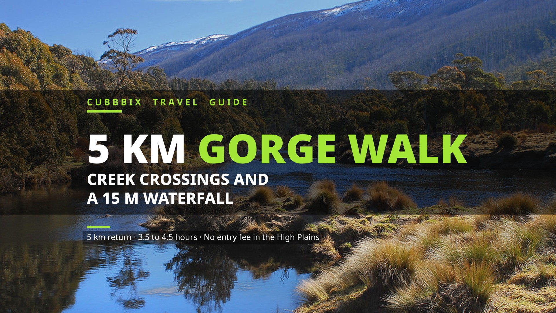
Figure 1: River country in Kosciuszko National Park. The Clarke Gorge track follows Cave Creek through the same high country, 25 km from the Snowy Mountains Highway. Photo: Jack Heywood Photography, public domain.
The track in numbers
| Detail | Figure | Source |
|---|---|---|
| Distance | 5 km return | NSW National Parks |
| Time | 3.5 to 4.5 hours | NSW National Parks |
| Grade | Grade 5 (difficult) | NSW National Parks |
| Waterfall | Cave Creek Falls, 15 m high | Walking guides |
| Start point | Blue Waterholes campground | NSW National Parks |
| Park entry fee | None in the High Plains area | NSW National Parks |
| Open season | October to June long weekends | NSW National Parks |
What the walk is like
The track runs east from Blue Waterholes into the gorge, then follows Cave Creek downstream between limestone cliffs. The gorge is narrow, the creek is crossed many times, and parts of the route need rock scrambling along ledges. The track is not signposted past the gorge entrance, though a clear foot pad runs through. Walkers report up to 16 creek crossings in wet conditions, and several guides count 7 crossings on a normal day. Your feet will get wet. Wear shoes you can wade in, or carry a second pair for the drive home.
The reward is the falls at the far end. Cave Creek drops 15 m into the valley below, and the pool at the base is one of the clearest swimming spots in the park in summer. The gorge walls, the mossy rock and the turquoise waterholes near the campground give this walk a different feel from the alpine tracks around Thredbo and Jindabyne. It is also one of the few places in Kosciuszko where you can see limestone karst, caves and a waterfall on one short walk. Four wild caves near Blue Waterholes are open to visitors: Murray Cave, Barbers Cave, Cooleman Cave and Right Cooleman Cave.
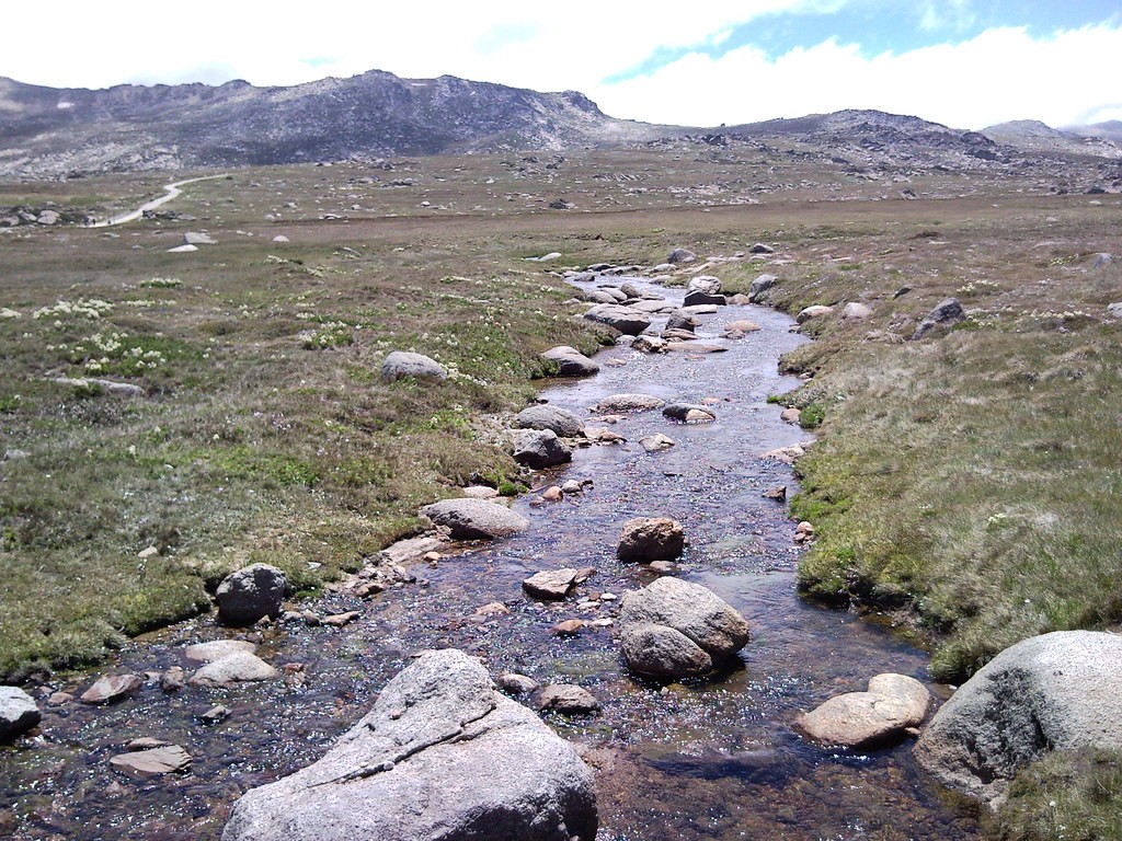
Figure 2: The Snowy River in Kosciuszko National Park. The high plains rivers run clear and cold, and the creek crossings on the Clarke Gorge track are part of the walk, not a detour around it. Photo: MD111, CC BY-SA.
Worked timing plan: a 4 hour day
The official time is 3.5 to 4.5 hours for 5 km, which is slow for a flat walk and right for a Grade 5 gorge walk with creek crossings. Here is the arithmetic behind a realistic day. Walk 5 km at a gorge pace of 1.5 km per hour: 5 divided by 1.5 is 3.33 hours, which is 3 hours and 20 minutes of moving time. Add 40 minutes of stops, 20 minutes at the falls and 20 minutes spread across the crossings and the waterholes, and the total is 4 hours exactly. That sits inside the official 3.5 to 4.5 hour range, so plan on 4 hours and treat anything faster as a bonus.
The drive needs time too. The trackhead is 25 km from the Snowy Mountains Highway on unsealed road. At 40 km per hour on gravel, 25 divided by 40 is 0.625 hours, about 38 minutes each way. Leave Tumut by 8:00 am and you reach Blue Waterholes near 9:15 am, walk 9:30 am to 1:30 pm, and drive out by 2:15 pm. That leaves a full margin before dark in every month the road is open.
Getting there and parking
Turn off the Snowy Mountains Highway onto Long Plain Road, then right onto Blue Waterholes Trail. The campground is at the end of the trail, about 25 km from the highway turnoff. Parking is on Blue Waterholes Trail next to Blue Waterholes campground. Both roads are unsealed. NSW National Parks says 2WD vehicles can use them in dry weather and 4WD is needed when wet, and several trip reports say a 2WD coupe made it in dry conditions while others warn the road gets boggy and steep after rain. Check conditions with the Tumut Visitor Centre before you set out. There is no park entry fee in the High Plains area, so the walk itself costs nothing.
Long Plain Road is about 75 km from Tumut and about 124 km from Cooma. The roads close in winter from the June long weekend to the October long weekend, and the closure can be extended in bad weather. The track is open between the October and June long weekends, but it can close at any time for poor weather or fire danger, so check the current alerts on the NSW National Parks page before you drive.
Staying overnight at Blue Waterholes
Blue Waterholes campground is free to camp at, with a $6 booking fee. Bookings are needed. The maximum stay is 14 days at this campground and 21 days in the national park. It is a remote campground with no shops nearby, so arrive with food, water and fuel. The campground is a good base for two walks: Clarke Gorge at 5 km return and Nichols Gorge at 7 km, Grade 4. Doing both over a weekend is the usual plan.
What to pack
- Shoes for wading: the creek crossings are the walk. Trail runners that drain, or sandals with a heel strap, beat heavy boots.
- A dry bag: for your phone, keys and camera. A slip on a wet ledge soaks everything in a day pack.
- 2 litres of water per person: the creek looks clean and the walk is 4 hours. Carry your own water.
- Sun protection: the gorge is shaded in parts and open in others. A hat and sunscreen cover both.
- A head torch: if you start late or the crossings slow you down, the gorge gets dark early.
Sources: NSW National Parks and Wildlife Service, Clarke Gorge walking track page and Blue Waterholes campground page (distance 5 km return, time 3.5 to 4.5 hours, Grade 5, open October to June long weekends, no park entry fee in the High Plains area, camping free with a $6 booking fee, 14 day maximum stay, 25 km from the Snowy Mountains Highway, Long Plain Road 75 km from Tumut and 124 km from Cooma); High Plains area page (four wild caves open to visitors). Walking reports: Seeking Nature (4.5 km walked in 3 hours 50 minutes, 16 water crossings) and Zaitseff tracks (4.5 km, 2 hours listed, 15 m falls, rock scrambling, multiple creek crossings). Figures checked 15 November 2026.
Frequently asked questions
Where is the Clarke Gorge walking track?
In the High Plains area of Kosciuszko National Park, New South Wales, near Blue Waterholes campground. It is not in Tasmania. The track starts about 25 km from the Snowy Mountains Highway via Long Plain Road and Blue Waterholes Trail.
How long is the Clarke Gorge walk?
5 km return, taking 3.5 to 4.5 hours according to NSW National Parks. The slow pace comes from creek crossings and rock scrambling, not from distance.
Is the Clarke Gorge walk hard?
Yes. It is graded Grade 5, the hardest grade on the Australian walking track scale. Expect rock scrambling on narrow ledges and many creek crossings, with no signposts past the gorge entrance.
Can I drive there in a 2WD?
In dry weather, yes, according to NSW National Parks, and trip reports confirm a 2WD coupe made it. In wet weather you need a 4WD, as the unsealed roads get boggy. Check with the Tumut Visitor Centre first.
When is the Clarke Gorge track closed?
The access roads close in winter, from the June long weekend to the October long weekend. The track is open between the October and June long weekends, but it can close at any time for poor weather or fire danger.
More from the Blog
Bushrangers Bay Walk: 6 km Return From Cape Schanck to a Hidden Beach
Concrete Retaining Wall Cost in Australia: Prices Per Metre in 2026
Devil's Pulpit, Scotland: How to Find Finnich Glen and What to Expect
Seven Sisters Cliff Walk: the Classic 6.5 km Route and the Full 21.9 km Traverse



Was this article helpful?
Comments
Loading comments...