How to convert GPS coordinates between decimal degrees, DMS, UTM and MGRS

TL;DR
Convert GPS coordinates between decimal degrees, degrees-minutes-seconds, UTM and MGRS on WGS84, in your browser. Nothing uploaded.
Table of Contents
Convert a GPS point in 30 seconds
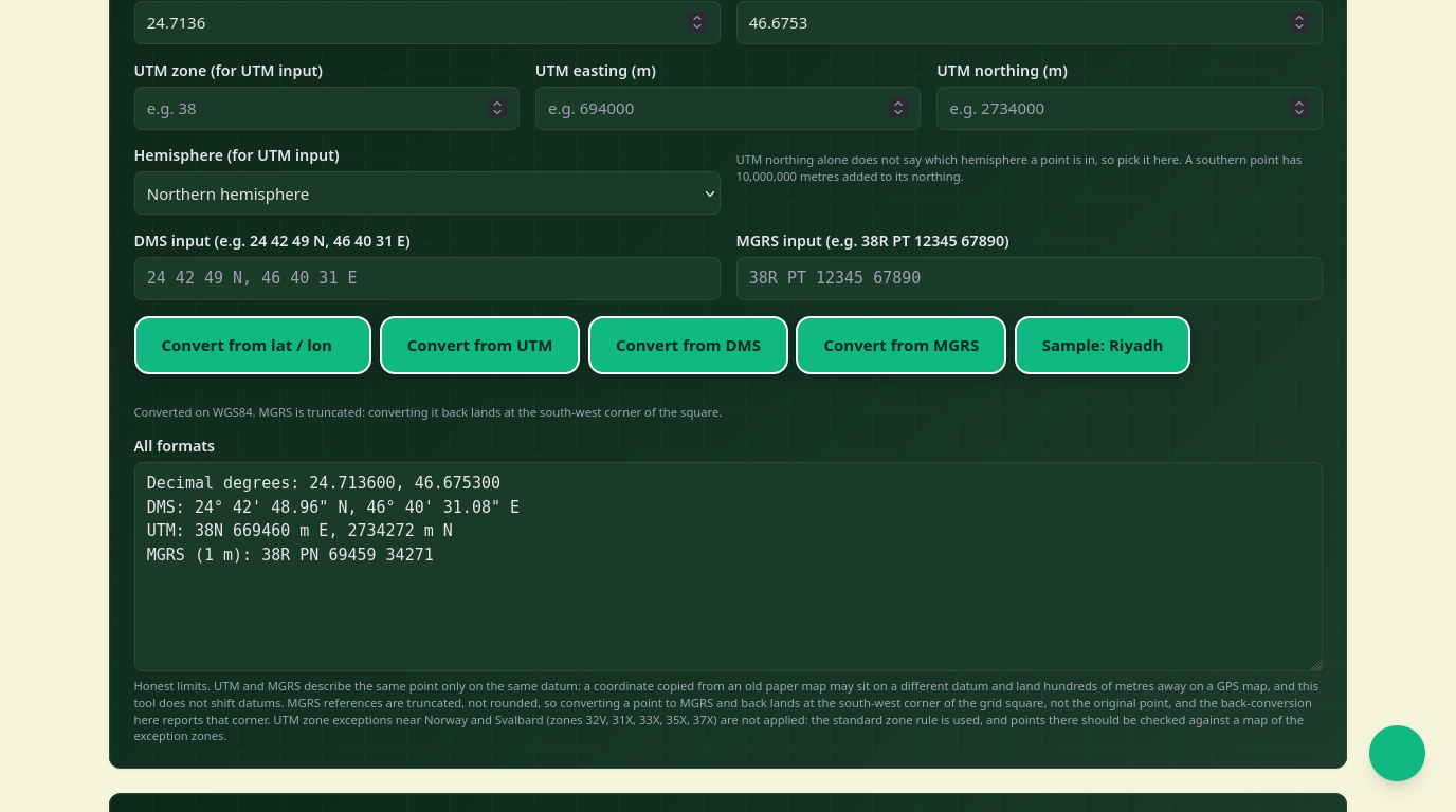
The same place has four common written forms, and the wrong one at the wrong moment causes real trouble: a hiker reading a paper map, a surveyor filing a report, a rescue team reading coordinates over a radio. The free Cubbbix Coordinate Converter turns one form into the other three, in either direction, on the WGS84 ellipsoid GPS uses: decimal degrees, degrees-minutes-seconds, UTM and MGRS, all from one page, with nothing sent anywhere.
Decimal degrees are what GPS receivers and web maps use: one number for latitude, one for longitude, with south and west negative. Degrees, minutes and seconds are the older written form, the one on paper maps and property deeds: each degree splits into 60 minutes, each minute into 60 seconds, and a letter says which hemisphere. UTM cuts the world into 60 zones, each 6 degrees of longitude wide, and measures metres east and north inside the zone, so distances on the ground read straight off the numbers. MGRS is the military shorthand for UTM: zone and band letter, two letters naming a 100 km square, then metres inside that square, compact enough to read over a radio.
Figure 1: One point, four written forms. Decimal degrees, DMS, UTM and MGRS.
How a UTM zone is picked
Zone number equals floor((longitude + 180) / 6) + 1, so longitude 46.6753 degrees east, Riyadh, falls in zone 38, whose central meridian is 45 degrees east. Easting is measured from a false origin 500,000 metres west of that meridian, so it never goes negative inside the zone. Northing is measured from the equator, with 10,000,000 metres added in the southern hemisphere for the same reason. A point near a zone edge belongs to the neighbouring zone's map just as well, so check the zone when a coordinate sits near a boundary.
MGRS letters follow a pattern worth knowing. Each zone is split into latitude bands 8 degrees tall, lettered C at 80 degrees south to X at 84 degrees north, skipping I and O, with band X 12 degrees tall. Inside a band, 100 km squares get two letters, the first from the easting column and the second from the northing row, with the letter sets rotating by zone so neighbouring zones do not repeat the same square letters at the same place. The Eiffel Tower, for example, converts to zone 31, easting 448251, northing 5411952, and MGRS 31U DQ 48250 11951.
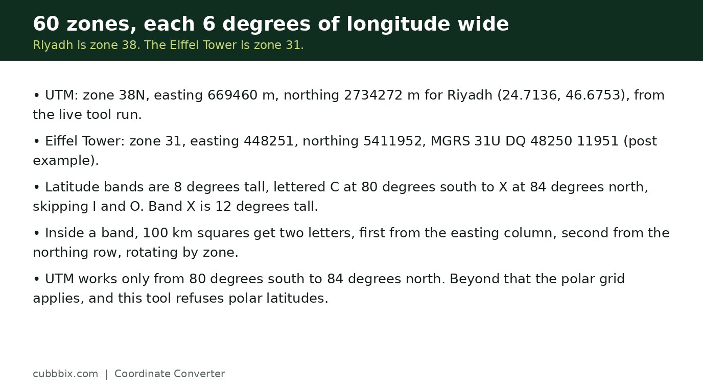
Figure 2: 60 zones, each 6 degrees wide. Riyadh is zone 38, the Eiffel Tower is zone 31.
Two honesty notes before you walk to a point
First, datum. UTM and MGRS describe the same point only on the same datum, and a coordinate copied from an old paper map may sit on a different datum and land hundreds of metres away on a GPS map. This tool does not shift datums, so check the source map's datum when a point matters. Second, MGRS references are truncated, not rounded, so converting a point to MGRS and back lands at the south-west corner of the grid square, not the original point. A 5-digit reference names a 1-metre square, so the shift is a metre at most, but a 2-digit reference names a 1-kilometre square, and the corner can be a long walk from the point.
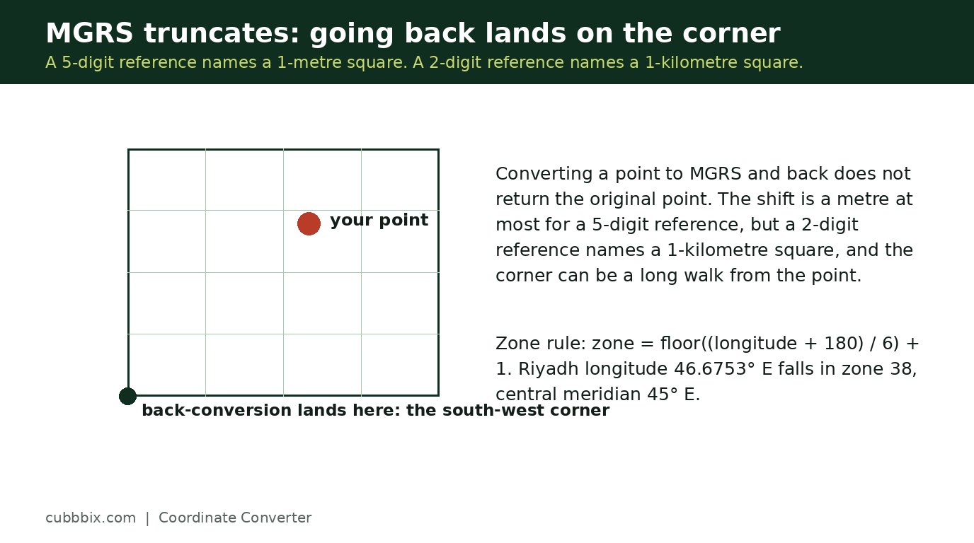
Figure 3: MGRS truncates, so a back-conversion lands at the square's south-west corner.
Questions people ask
What datum do these conversions use?
WGS84, the datum GPS uses. Coordinates from old paper maps on other datums can differ by hundreds of metres, and this tool does not convert between datums.
Why does converting to MGRS and back not return my exact point?
MGRS references are truncated, not rounded. A 5-digit reference names a 1-metre square, and converting back returns its south-west corner. Shorter references name bigger squares.
Does it work at the poles?
No. UTM is defined only from 80 degrees south to 84 degrees north. Beyond that the Universal Polar Stereographic grid applies, and this tool refuses polar latitudes instead of producing a wrong grid reference.


Was this article helpful?
Comments
Loading comments...